(2) copy.jpg)
|
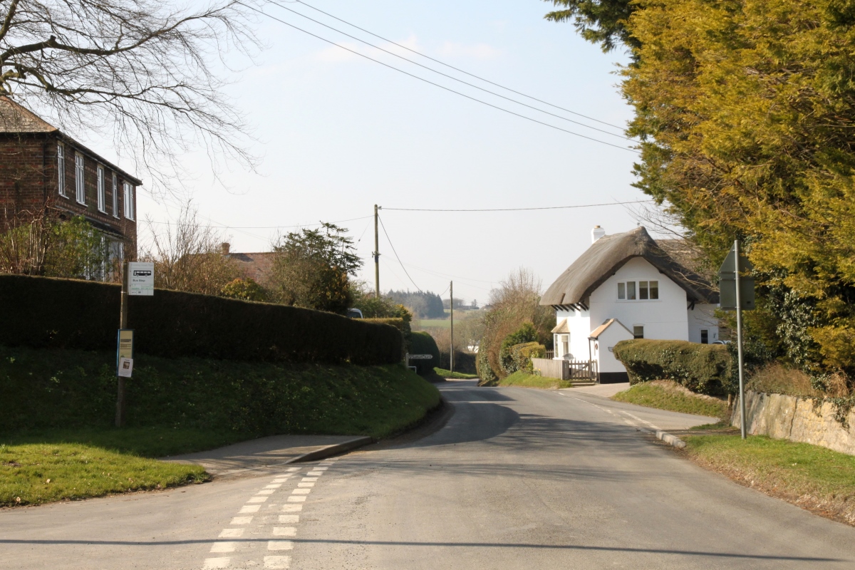
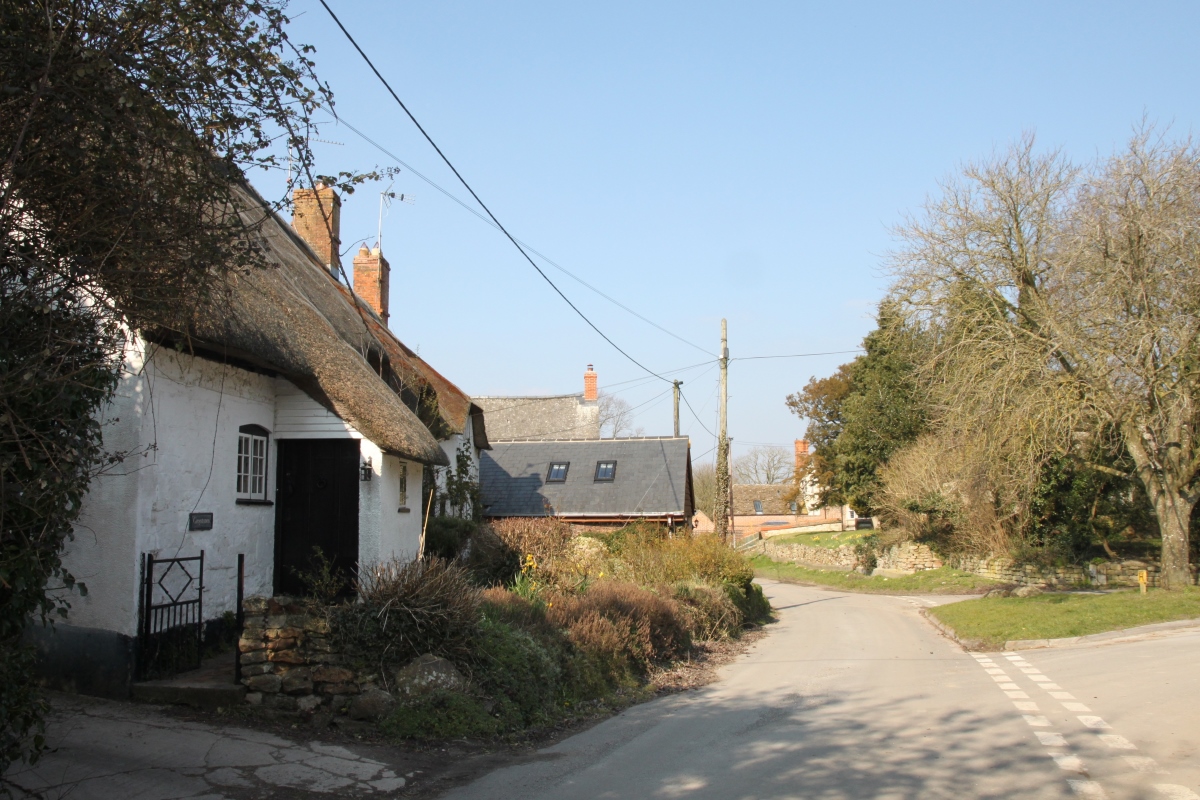
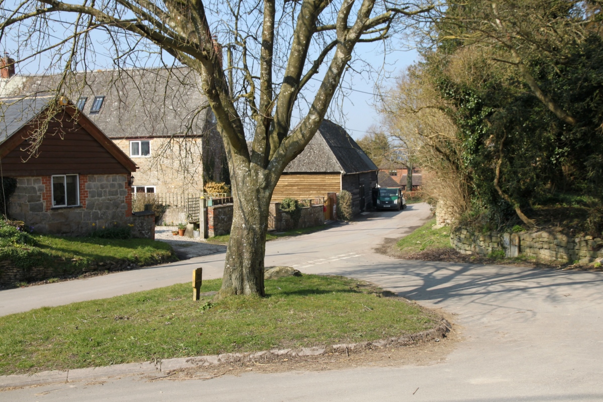
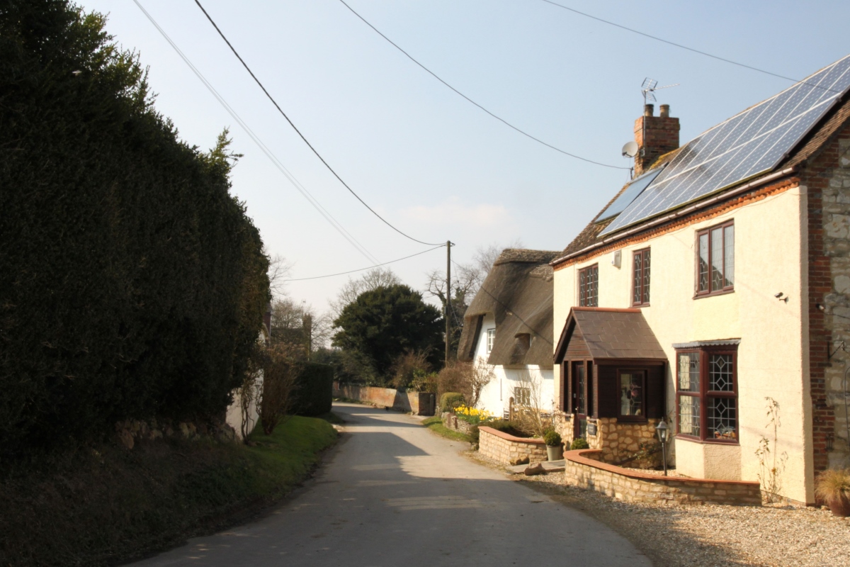
Hinton ParvaHinton Parva is a small straggling village on the north edge of the downs overlooking the Vale of White Horse. The Icknield Way passes through the village but the village is mostly centred on Church Row and Tuckers Lane to the north of Icknield Way, and there are small pockets of development elsewhere.
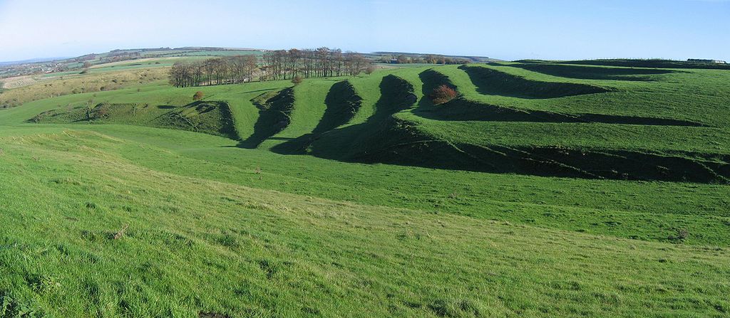
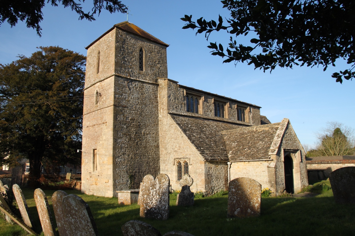
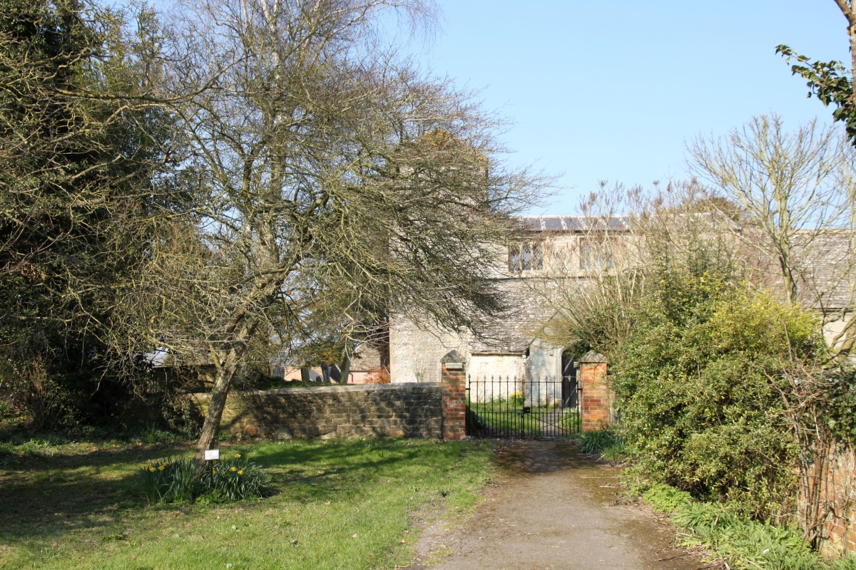
On the downs between Hinton Parva and Bishopstone there are impressive ancient field systems known as strip lynchets and many other historic earth-workings. Lynchets are a feature of ancient The village was taken over by the War Department during World War 2 to allow training for Operation Overlord. The inhabitants were evicted but allowed to return after hostilities had ceased. To the south of the village is the stunning dry valley of The Coombes which is owned by the National Trust. The valley provides a mile-long walk with steep slopes either side of you, beautiful wild flowers in the summer and lots of farmland birds all year round. For a description of the walk click here. The small parish church, dedicated to St. Swithun, dates mainly from around 1300. Inside there are two Norman arcades, a vigorously carved Norman font with animals, and glass by Kempe and Laurence Whistler. Hinton Parva is about five miles east of Swindon on a minor road between Swindon and Wantage. |
|
||||||||||||||||||