(2) copy.jpg)
|
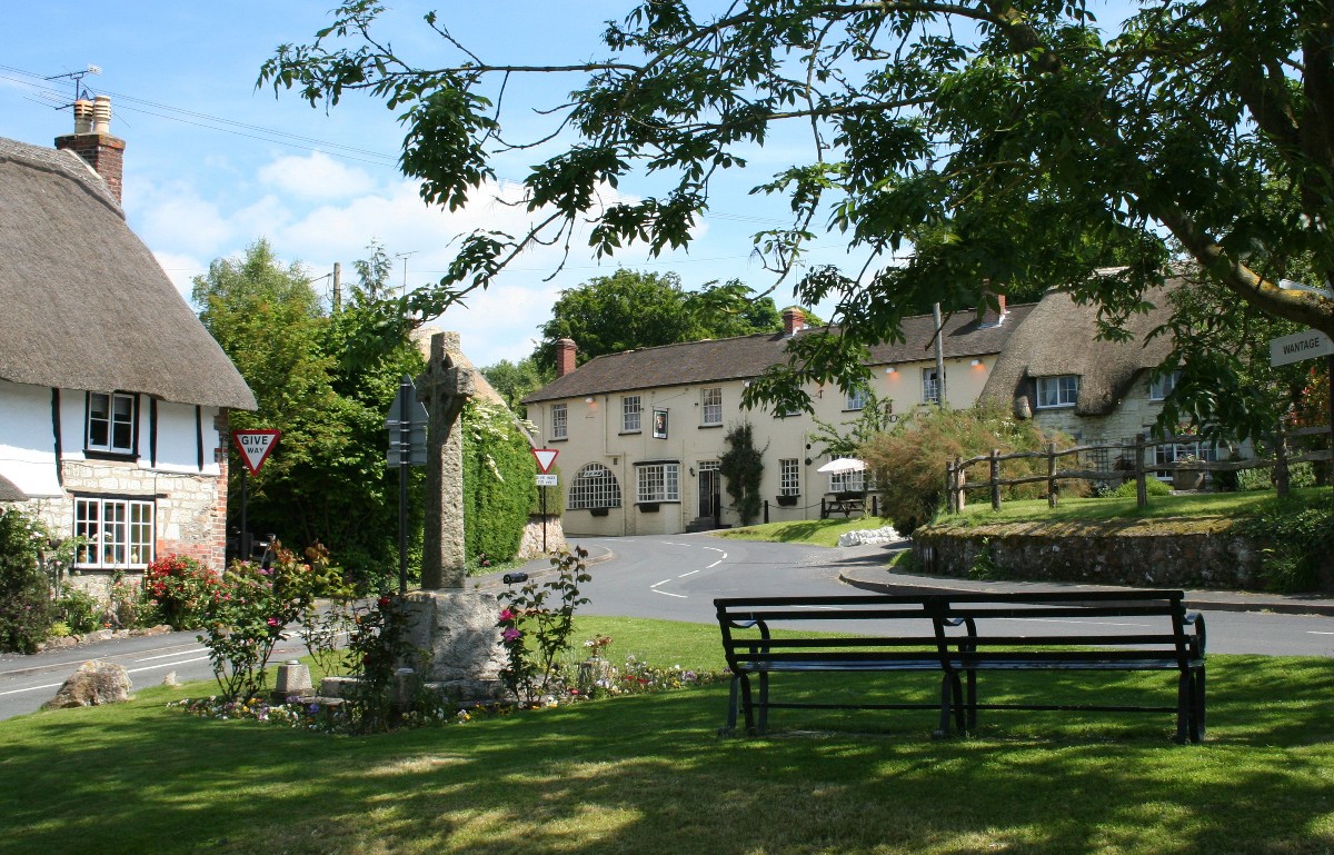
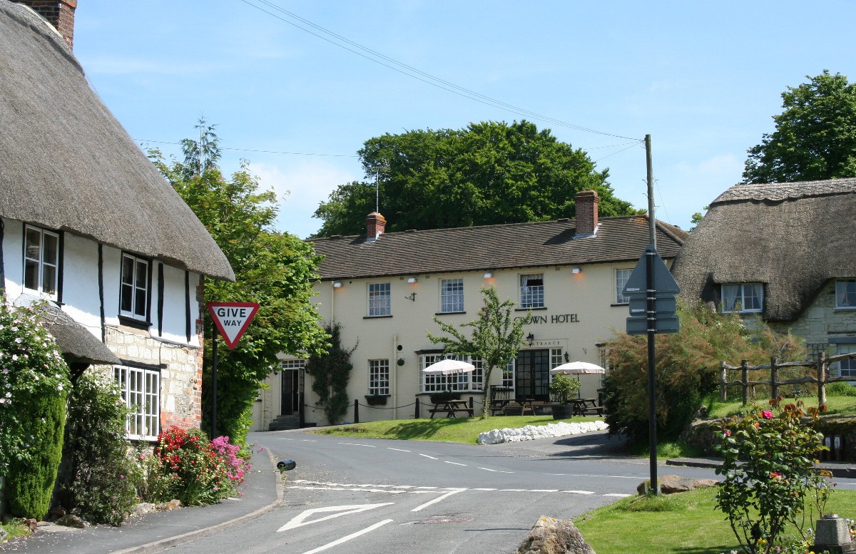
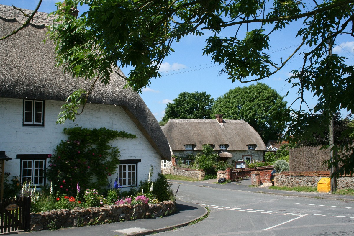
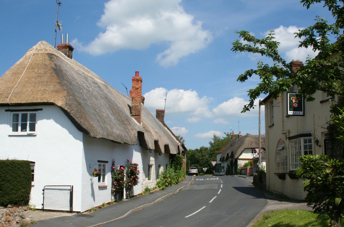
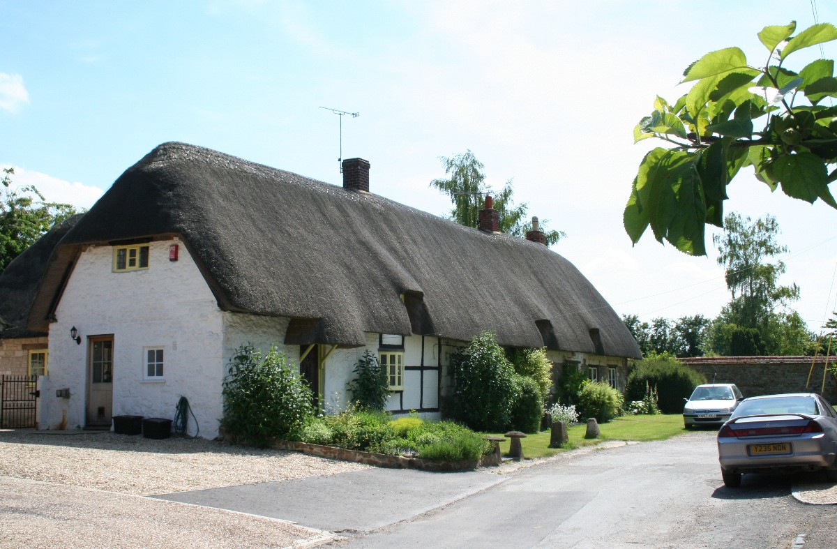
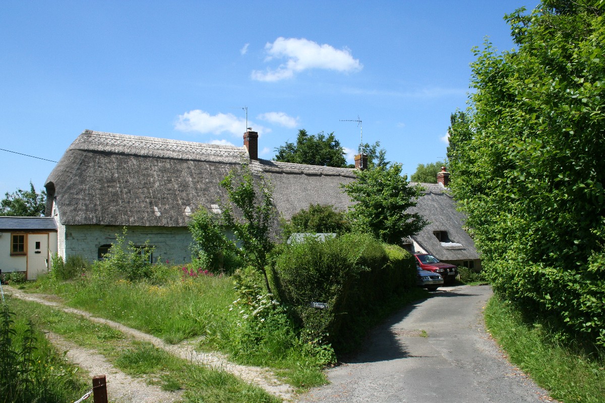
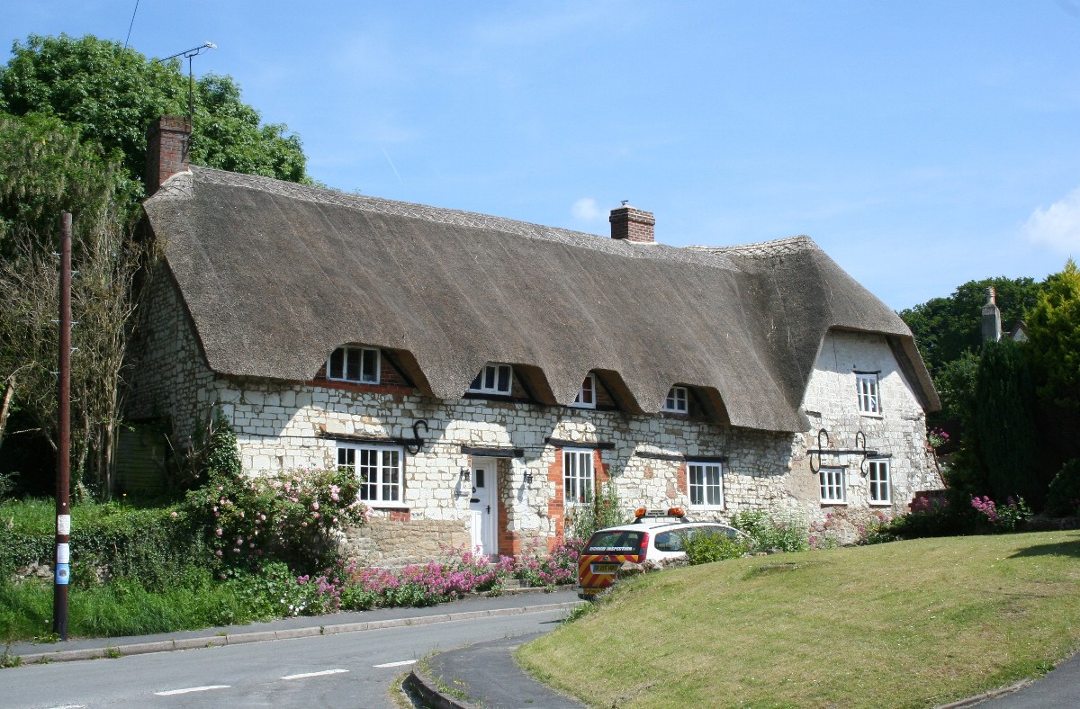
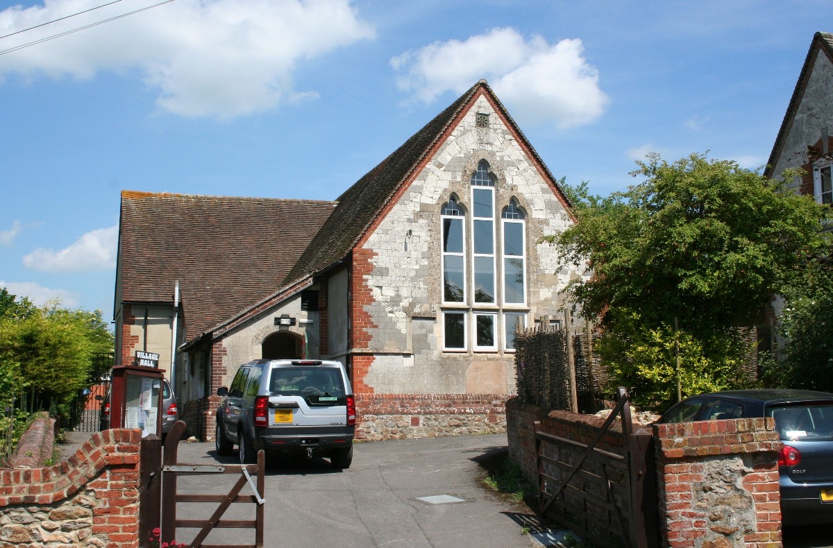
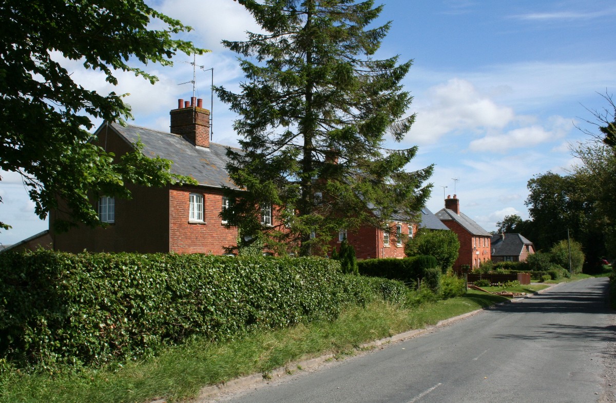
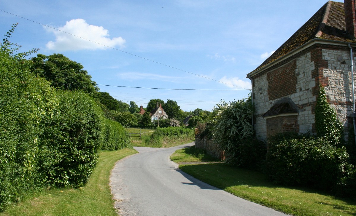
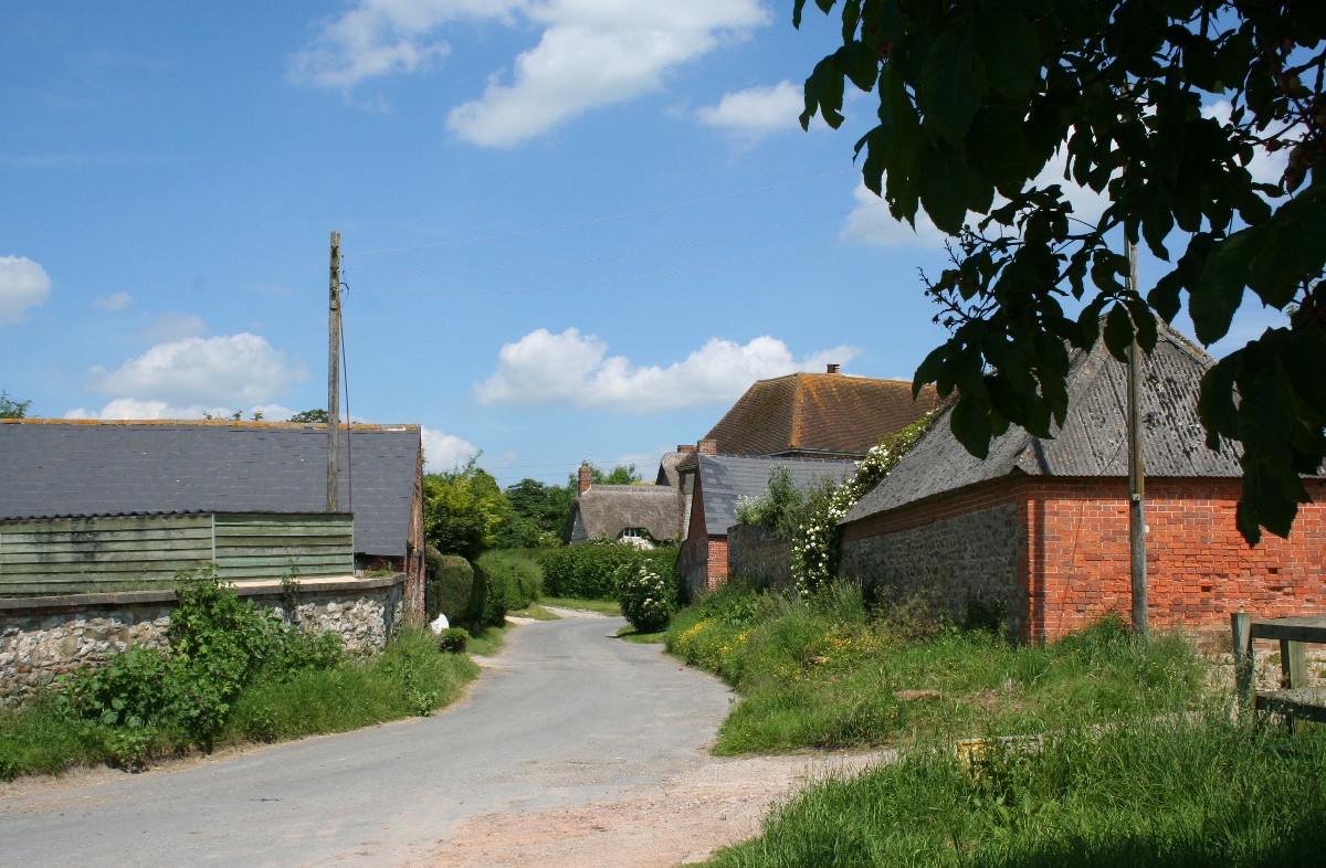
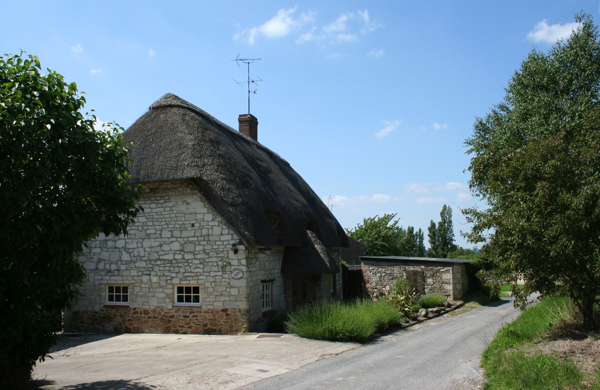
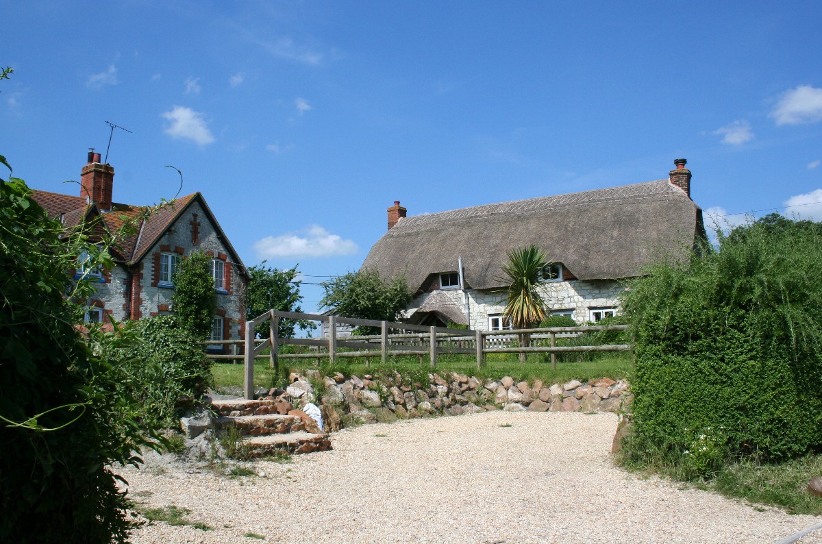
Ashbury and IdstoneAshbury is a pretty, small village on the side of the Berkshire Downs overlooking the Vale of White Horse. It has an attractive blend of chalk and stone cottages, many of them thatched. In the centre is a small triangular green with a well-kept war memorial and a thoughtfully placed seat. Ashbury is on the B4000, the road that links Lambourn, the racehorse capital of the downs, with the Vale village of Shrivenham. It is also at the end of the B4507 which runs westwards along the foot of the Downs from Wantage. This road gives superb views over the Vale of White Horse to the north and the lower slopes of the Downs in the south, which makes the drive between Wantage and Swindon even more worthwhile.
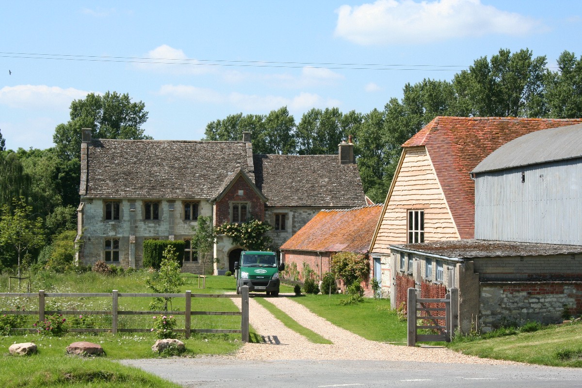
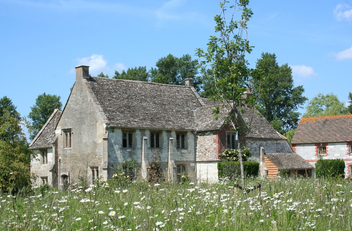
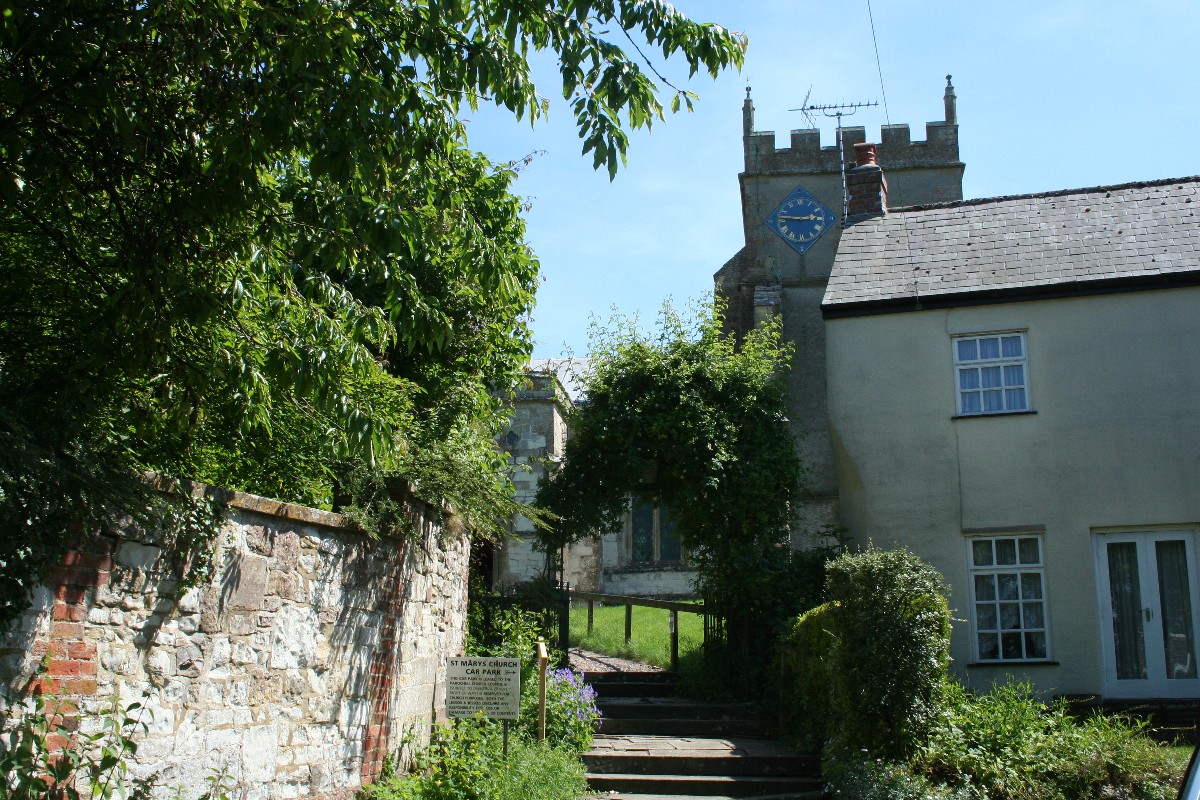
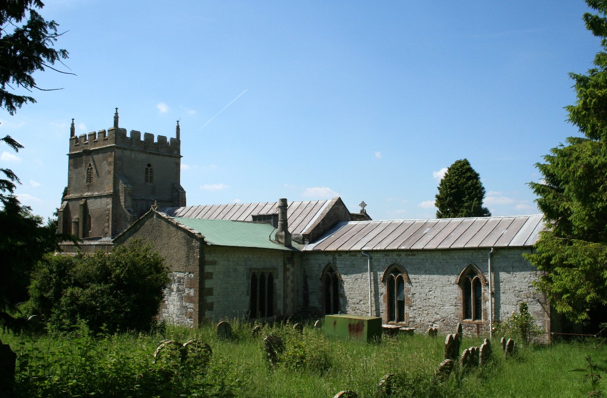
By comparison with other nearby villages the parish church, the Church of St. Mary the Virgin, is large. Set on a hilltop, it has fine views across the parish and is approached by foot up a steep cobbled path to the entrance. Parts of St. Mary's date from the 12th century although most of the building dates only from the 13th to 15th centuries. There has been a church at Ashbury since the 10th century when monks attached to Glastonbury Abbey lived at Ashbury Manor. The name Ashbury is thought to mean 'Ash Tree covered Fort', the fort in question being an Iron Age hill fort now known as Alfred's Castle, a couple of miles south in the downs near Ashdown House and Park. King Alfred's birthplace was later to become the Vale town of Wantage and King Alfred, and his campaign against the Danes, is linked either in fact or fiction to many places in and around the Downs. A famous defeat of the Danes is said to have been the result of The Battle of Ashdown which is thought to have taken place near the Berkshire village of Compton. Ashdown House and Park are a couple of miles to the south of Ashbury on the B4000. Ashdown House, once the residence of the Earls of Craven, has been described as 'the perfect doll's house' and is now owned by the National Trust. In front of the house, next to the road, is a mysterious field of 'petrified sheep'. These are thought to be debis left by retreating glaciers. Just north of the village, at Chapel Wick, a medieval moat shows where a small chapel was built in 1220. Nearby is the Manor House, sometimes known as Chapel Manor because there is a small oratory over the porch. The manor of Ashbury remained in the ownership of Glastonbury Abbey until the Dissolution in 1539. This building dates substantially from the 15th century and contains many 15th century features. Idstone is a tiny hamlet with mainly brick-built houses on the Swindon road, but the real charm of the hamlet is off the road, where there are some attractive thatched chalk cottages. Ashbury is on the B4000 about three miles south-east of Shrivenham. |
|