(2) copy.jpg)
|
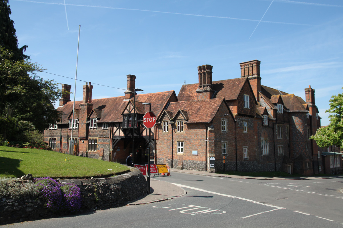
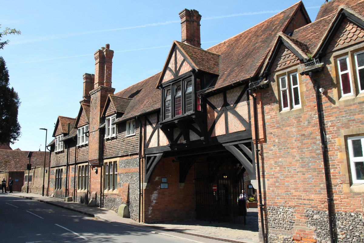
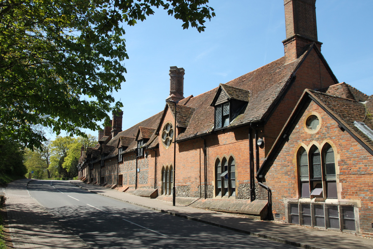
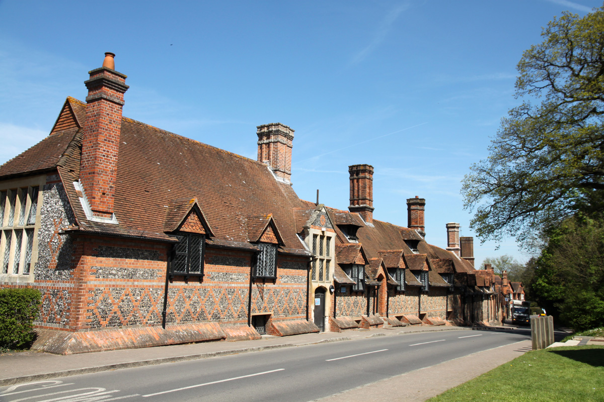
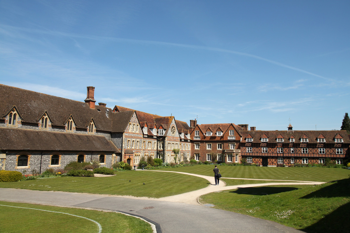
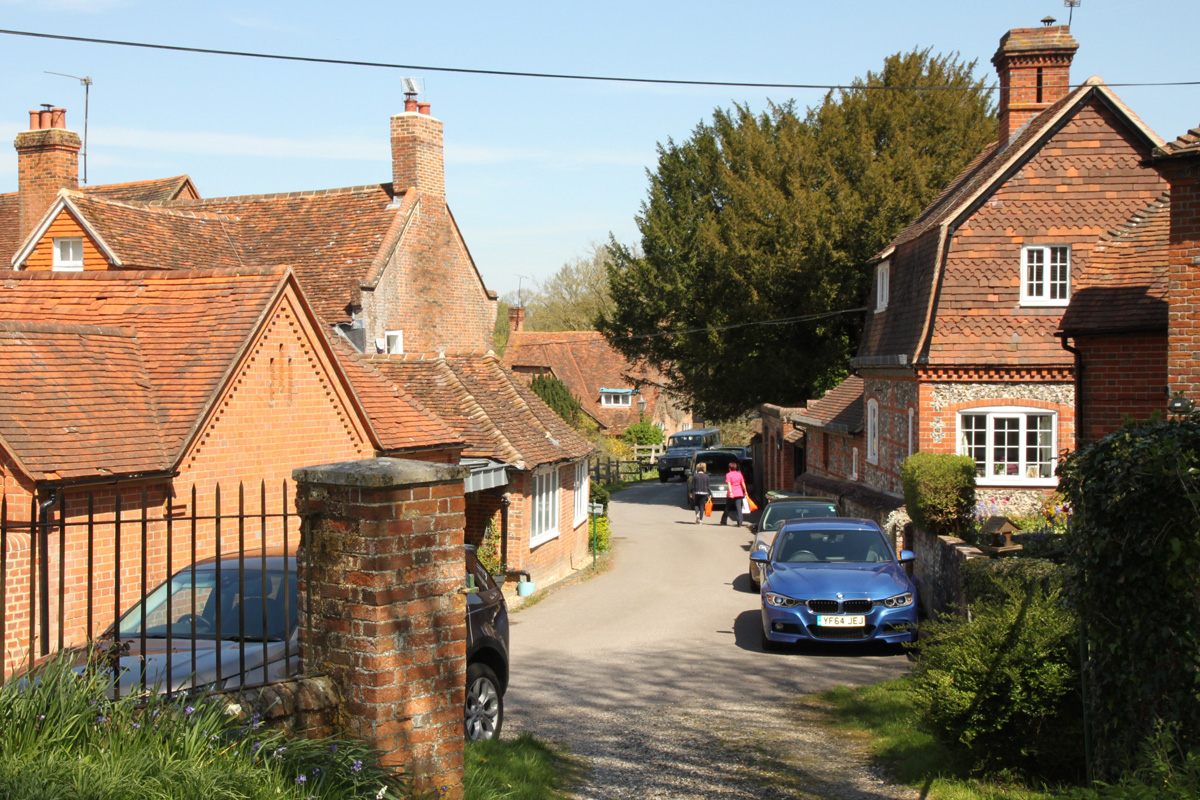
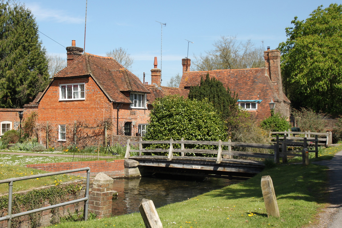
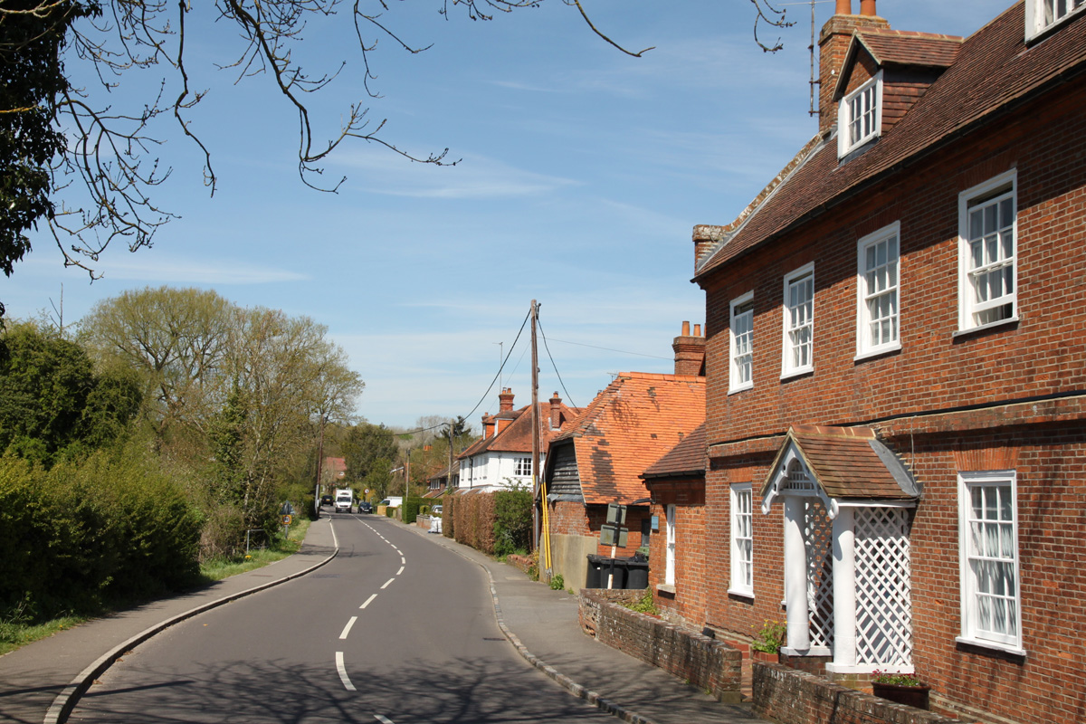
BradfieldBradfield lies in the south-east of the Downs on the northern slope of a low ridge of high ground. The ridge separates the valley of the River Pang from the flood plain of the River Kennett and the village spreads down towards and across the River Pang. Today the village almost entirely comprises the various buildings of Bradfield College which has grown since it was founded and now encompasses most of the village, but there are still a few houses in Bradfield not connected with the college, especially on the Ashampstead road.
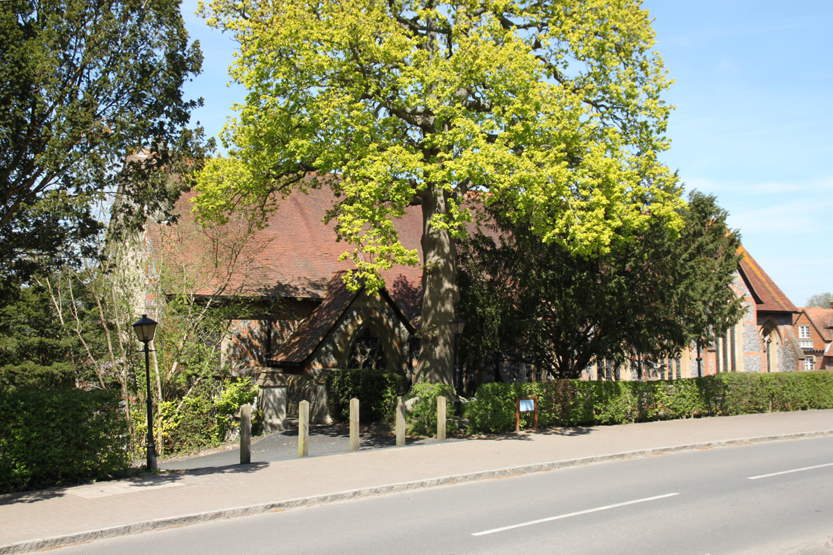
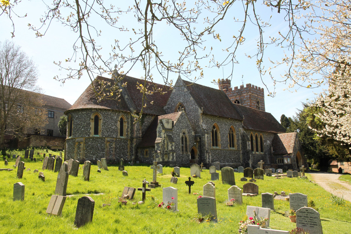
Bradfield College was founded by the Rev. Thomas Stevens, the lord of Bradfield Manor and rector of St. Andrew's, in 1850. He had rebuilt St. Andrew's church and decided that the village choir was not up to scratch so he would start a choir school for 'the careful education of boys as loving children of the Church of England'. Unfortunately the vast expenditure impoverished Rev. Stevens and in 1881 he was declared bankrupt. The school is now called Bradfield College and is a co-educational public school. St. Andrew's Church, as rebuilt by Rev. Stevens, is in Early English style and all that remains of the original building is the early 14th century north arcade of the nave, the west, and part of the north wall of the north aisle, and the 16th century tower. St. Andrew's is no longer being used by the parish and a final service of thanksgiving took place on 30th November 2014. Bradfield is on the Theale to Ashampstead road, about 2.5 miles north-west of Theale and about six miles west of Reading. |
|
||||||||||||||||||||||